2
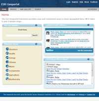
Esri Geoportal Server هو منتج مجاني مفتوح المصدر يتيح اكتشاف واستخدام الموارد الجغرافية المكانية بما في ذلك مجموعات البيانات والنقطية وخدمات الويب.
موقع الكتروني:
http://www.esri.com/software/arcgis/geoportalالمميزات
التصنيفات
بدائل ESRI Geoportal Server لجميع المنصات مع أي ترخيص
79
10
4
3
Spatial Feature Server
خادم الميزات المكانية من MapET هو تطبيق ESRI Geoservices REST ويعمل مع جميع ESRI Rest API.مصدر البيانات المنشورة هو الامتداد المكاني لنظام RDBMS الرئيسي ، مثل Oracle و Microsoft SQLServer و MySQL و PostgreSQL.
- التطبيق المدفوع
- Windows
1
what3words
نظام الترميز الجغرافي للتواصل البسيط للمواقع بدقة 3 أمتار.
0
hale connect
النظام الأساسي السحابي لتحويل ونشر بيانات المعايير المفتوحة (INSPIRE ، OGC ، المدن الذكية ، BIM) بسهولة وفعالية.
- التطبيق المدفوع
- Web
- Self-Hosted
0
